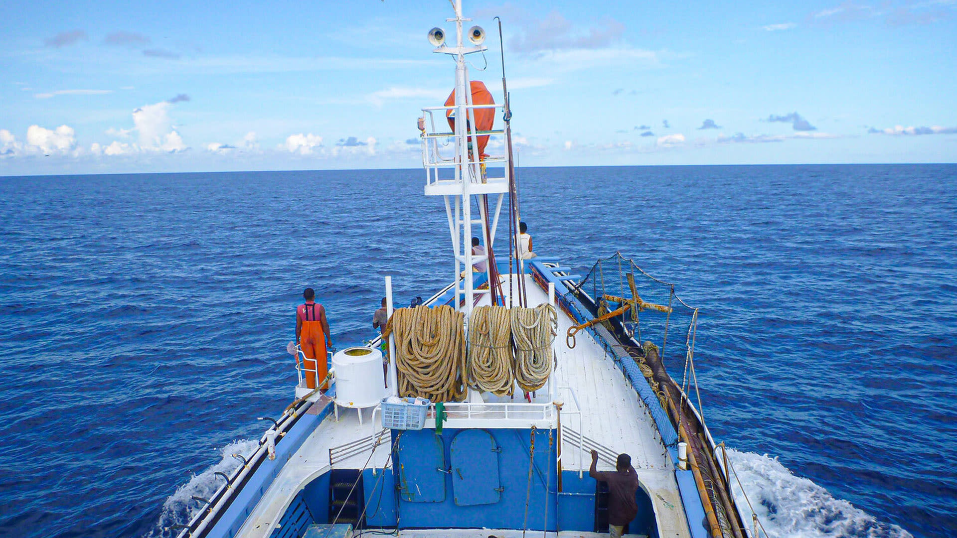
Starboard Maritime Intelligence: Guardians of the Ocean
Dedicated to protecting ocean ecosystems and the people that rely upon them, Starboard is software with massive scope and vision.
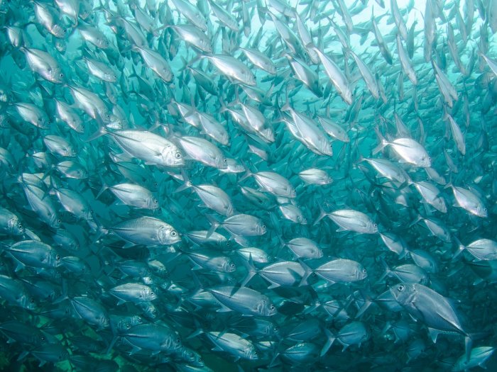
Starboard’s software uses a clever combination of satellite data from several sources – AIS, navigational radar emissions, Synthetic Aperture Radar (SAR) and visual imagery – to find dark vessels.
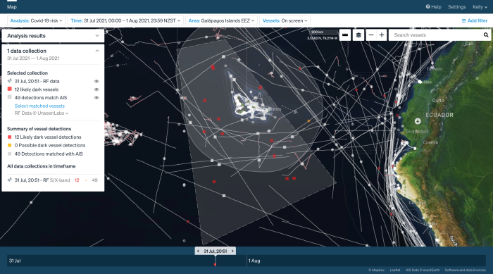
Vessels visiting foreign ports en-route to New Zealand; red indicates they may have visited high-risk ports during risk periods.
Starboard can now run different scenarios and look for potential health risks to Aotearoa.
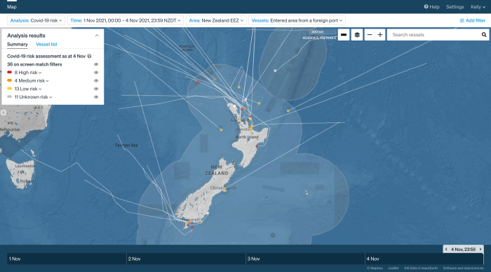
Starboard can now run different scenarios – up to a million times each – and look for potential health risks to Aotearoa. This allows them to decide how dangerous a threat is. Should the crew be allowed to disembark from the vessel, or will they need to be quarantined and tested upon arrival? The dedication of the team behind Starboard is obvious as they demonstrate the product to us. The way Xerra describes their company approach feels like kaitiakitanga, or guardianship of our land, water, and sky. Through their mission, they have managed to gather in Aotearoa a talented, passionate, and innovative team who are developing truly world-changing technology. It’s impossible not to be impressed and excited with the potential this software offers in tackling some of the biggest and most daunting threats to our ocean ecosystems.
“We are a cross-functional team of scientists and engineers, and marketers, and designers. But we all share very much the same motivation as to why we came to work here: the mission is contributing to the protection of ocean ecosystems, and the people that rely upon them,” says Hovey.
And as for the future innovators of tomorrow? Andy reckons that data science is a field for people with very diverse skills. “Machine learning, data science, and all of these methods of extracting something useful from data are growing. But that's not to say that the only path is maths. You only know what to extract by knowing what questions to ask and what to look for. And that's an anthropological skill. That's a design avenue. Making sense of the vast and rapidly growing volume of information about the world is going to be a huge part of our area of marine science, fisheries, biosecurity, and climate change. It’s an exciting time to be able to turn these tools and technologies into good for the world."
Story by Teina Herzer and Makayla Wallace-Tidd, MOTAT Links: Starboard Maritime Intelligence Xerra Ministry for Primary Industries | Manatū Ahu Matua Fisheries
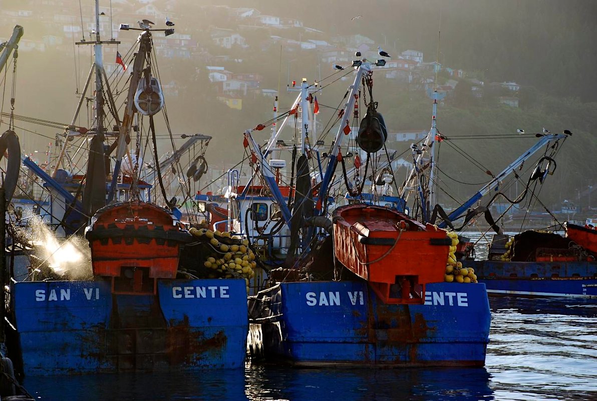
Photo credits, purse seine vessel; pole and line vessel: Francisco Blaha, www.franciscoblaha.info
Additional images courtesy of Xerra
Citation: Herzer, Teina and Wallace-Tidd, Makayla, Starboard Maritime Intelligence: Guardians Of The Ocean. New Zealand: The Museum of Transport and Technology (MOTAT). First published: 14 December 2021. URL www.motat.nz/interactive/starboard-guardians-of-the-ocean